
(1.2M)
(1.3M)
(174K)
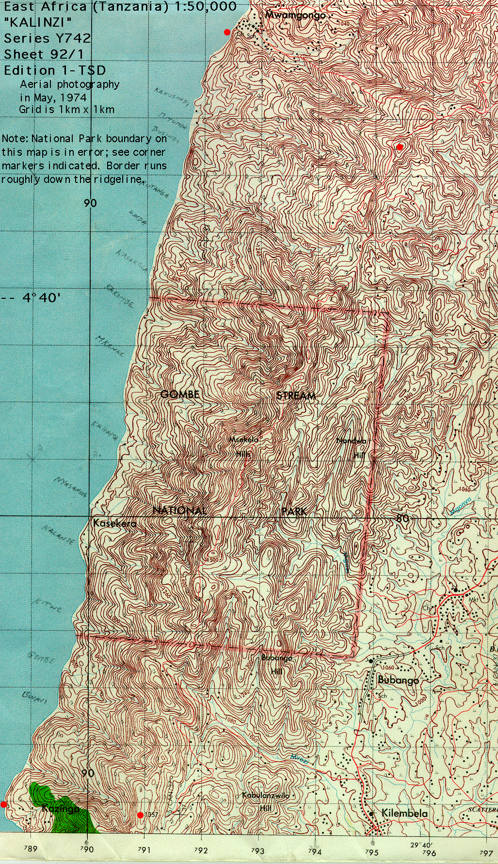
The topographic map is from Series Y742 -- East Africa (Tanzania) 1:50,000. The gridlines are at 1km intervals, and are numbered using a coding system that allows one to identify locations to within about 100m (by interpolating). Since these scans rarely include the borders (hence codes), this image cannot be georeferenced that way; if there is any actual demand for adding gridline coordinates let me know and I'll upgrade it. The main research camp is in Kakombe Valley. Note that the green area on the map is meant to indicate "forest" while the unshaded is almost all "woodland". However, the one patch of green on this map is not now, if it ever was, any denser than most of the riverine galleries through the Park. Basically, there is no useful vegetation information on this map.
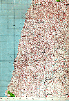
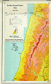
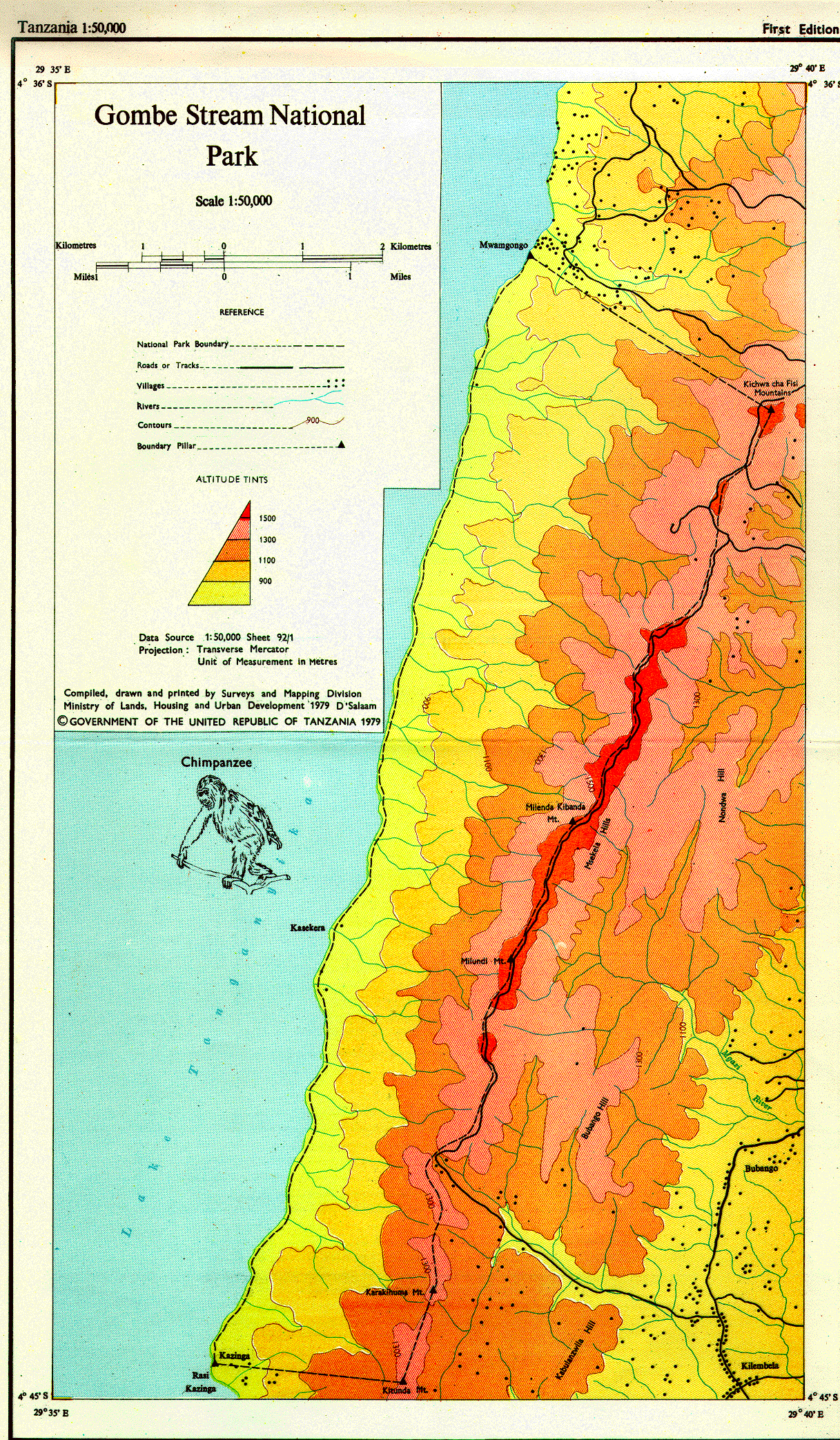
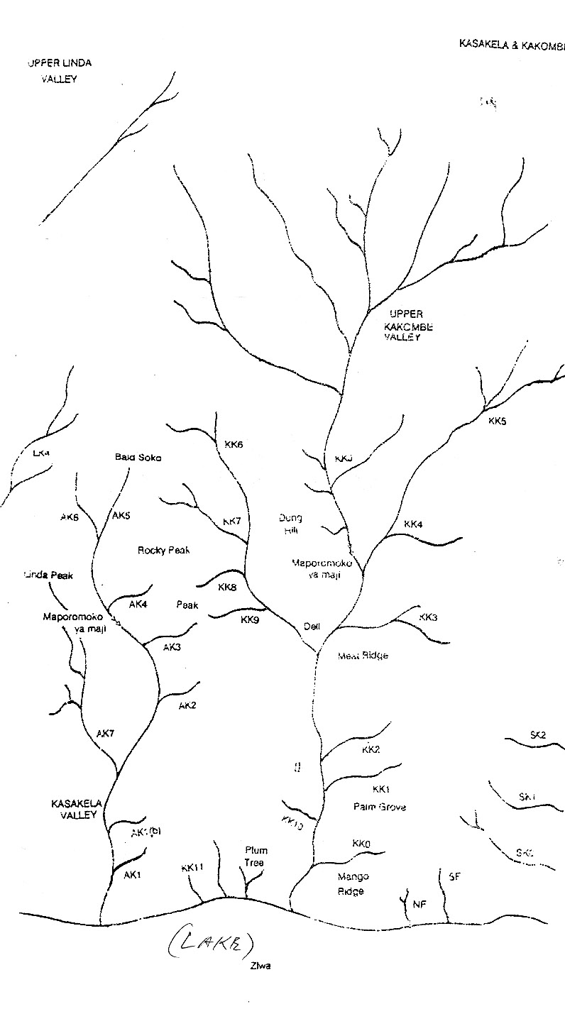
The tourist map gives a rough overview of the Park and a grosser topographic scale. Finally, the field map is the one used by researchers to plot locations within Kakombe Valley and includes place names referred to in some Gombe publications.
These images are intended to be useful if downloaded and manipulated/printed; hence in most cases they were scanned at high resolution and are very large. If this system proves impractical let me know and please suggest alternatives.
If you have any trouble downloading any images, let me know and I will see what I can do.
|
|
|
| Topographic (1.2M) |
Tourist (1.3M) |
Field Map (174K) |