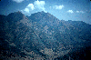
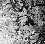
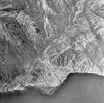
M Group Range (54K)
(50K)
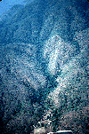
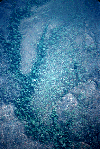
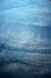
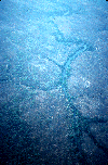
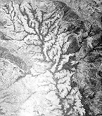
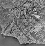
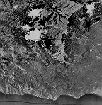
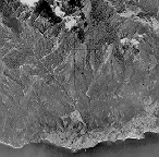
The following page contains two groups of aerial photos. One group consists of aerial oblique color photos, taken by Jim Moore in 1992. The other group consists of black and white vertical mapping photos, taken professionally in 1974. These are the photos used in creating topographic maps.
They contain links to larger sized copies of the photos - the size of the file is in parenthesis underneath each photo icon. The obliques are just to give one a feeling for the view; the vertical mapping photos may be useful for analysis and so are available at much finer grain (and larger file size).
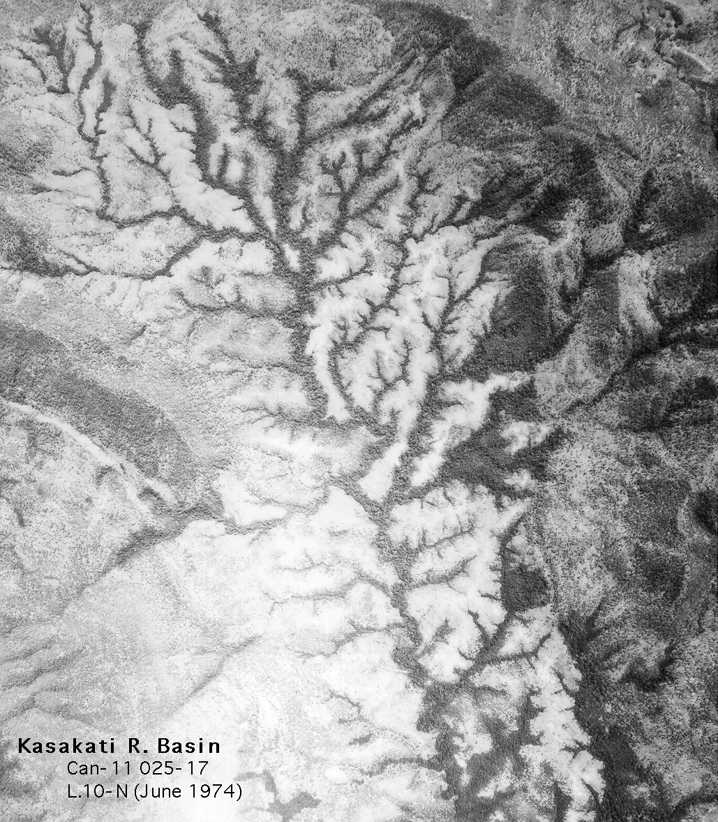
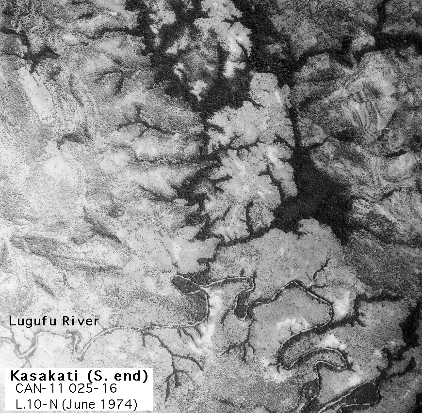
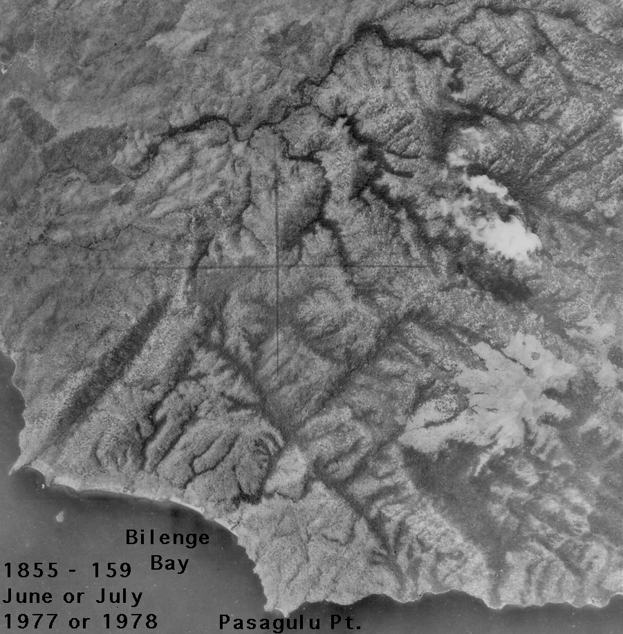
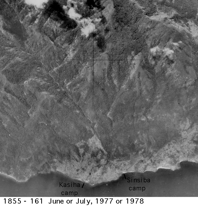
The vertical photos are taken with a wide-angle lens, which introduces considerable peripheral distortion; only the exact frame center is free of such distortion (on some frames this is marked by a faint gray cross). It is this distortion that enables mappers to reconstruct accurate 3-dimensional images out of pairs of overlapping photographs. PLEASE NOTE: the images here are limited to the middle region of the original photographs, to minimize peripheral distortion; the true (undistorted) center of the photograph is contained in each image, but may not be at the geometric center of the image (for a variety of reasons). Thus these are not designed to be used as stereopairs for mapping. To include the entire original photos at fine grain would result in files in the 5MB range. Contact me if you would be interested in access to the original photographs (prints made in Dar from the original negatives). I also have the next series eastward (centered just east of the mountains).
Click to view larger image files
|
|
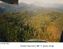
| Mahale Mountains M Group Range (54K) |
Mahale Mountains (50K) |
 |
 |
 |
| Miyako Camp (50K) JM |
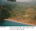
Miyako Camp(48K) JM | Inland Side of Mahale (39K) JM |
 |
 |
 |
 |
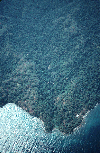
| Kansyana Camp at Sumba Bay (57K) JM |
Bilenge Camp (56K) JM |
B-Group Range Miyako & Bilenge (54K) JM |
Kasiha Camp (54K) JM |
 |
 |
 |
 |
| Kasakati Region (50K) JM |
Kasakati Region (45K) JM |
Kasakati Region (39K) JM |
Lugufu (45K) JM |
These were taken in June 1977 or July 1978. Unfortunately the Mahale mapping photos are not great quality; the maps office in Dar tried printing them twice but they remain somewhat washed out.