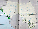


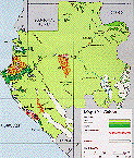
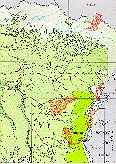
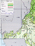
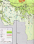
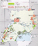
Each button image below is linked to a larger version of the map. The approximate locations of major ape study sites are indicated by name in red (e.g., "Lomako") on the larger versions. To economize on file size, not all the maps have full keys; if this is a problem let me know. Meantime, in general light green represents lowland rainforest, darker green is swamp or montane forest (it should be obvious), and dark green along coastlines is mangrove. Dark red stipling indicates existing conservation areas (1992) and pale stipling indicates proposed conservation areas.
 |
 |
 |
 |
| Guinea | Sierra Leone | Liberia | Cote d'Ivoire |
 |
 |
 |
 |
| Nigeria | Cameroon | Central African Republic | Rio Muni (mainland portion of Equatorial Guinea) |
 |
 |
 |
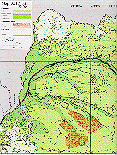 |
| Gabon | Northern P. R. Congo | Southern P. R. Congo | Northwestern D. R. Congo |
 |
 |
 |
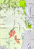 |
| Northeastern D. R. Congo | Western D. R. Congo | Southwestern D. R. Congo | Southeastern D. R. Congo |
 |
 |
| Uganda | Rwanda and Burundi |
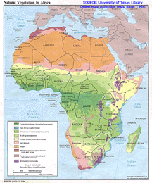
Africa vegetation map This map is from the University of Texas Library Online map collection and is reproduced here as per the permission statement on the Library's home page--many thanks! I plan (eventually) to add the ape study sites to the map.
Click the figure for a larger version (over 600k).
